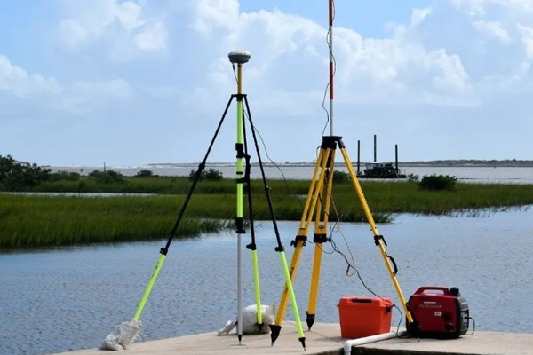
At Podar Borewell, we offer expert Geo Hydrological Survey Services to evaluate underground water potential, aquifer behavior, and site suitability for borewell drilling, rainwater harvesting, and groundwater recharge projects. Our studies are data-driven, field-tested, and essential for making informed water resource decisions.

What is a Geo-Hydrological Survey?
A geo-hydrological survey involves the scientific analysis of geology, soil profile, topography, and groundwater behavior to determine:
- Water availability beneath the surface
- Depth and quality of aquifers
- Soil permeability and recharge potential
- Suitable zones for borewell drilling
- Seasonal fluctuations in the water table
It is typically carried out before:
- Borewell installation
- Rainwater harvesting system setup
- Industrial site development
- Government or NGO water projects
Our Services Include
Site Investigation
- Visual geological mapping
- Analysis of existing wells and water levels
- Terrain and slope mapping using GIS tools
Subsurface Evaluation
- Soil and rock identification
- Aquifer layer depth & thickness estimation
- Water yield potential & recharge zones
Detailed Reporting
- Borewell depth recommendation
- Maps, graphs, and satellite imagery (optional)
- Water management strategy for the site
- Certified report for government/tender submission


